GIS Measurement
- Business Areas
- GIS Measurement
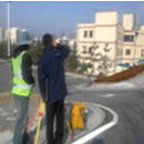
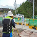
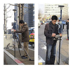
Surveying national control points and public control points (Static-GPS)
- Global Positioning System
- A location measuring system utilizing satellite electric waves and 24 Navstar satellites
- 24-hour location setting, regardless of the weather
- Securing high accuracy and speed
- Location determined by real-time and post- processing
- Measurements possible regardless of visibility
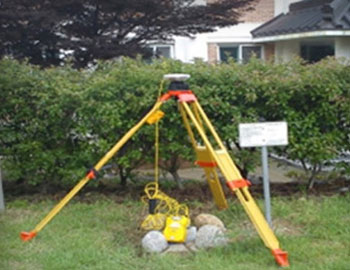
Measurement/surveying road-based facilities for operation of GIS (RTK-GPS)


Digital maps
- This indicates different types of geographical-spatial information, including the location of ground, underground and underwater spaces, terrain, buildings/structures, and the name of the land accumulated by a processing system, which is presented in the digital form
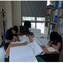
- Performing geography surveys, image interpretation, input/output of data, editing, and the construction of geographical spatial information systems to produce maps (including digital maps)
- Production of country basic chart (1:5000)
- Production of digital map 1:1000 (Ver 1.0 & Ver 2.0)

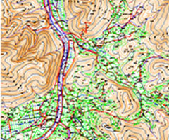
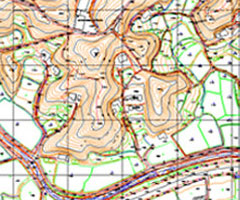
Production of Digital Map
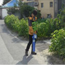
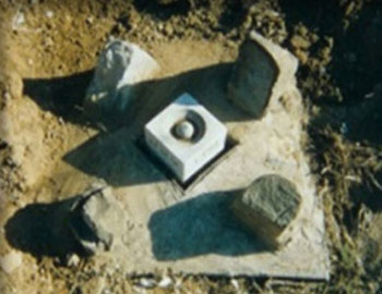
Numerical Cadastral Surveying
Numerical cadastral surveying indicates measuring/mapping boundaries, or areas of land, upon the request of local authorities or interested persons in order to register the land in the cadastral record, or to mark the land according to what is registered in the cadastral record.
Types of digital cadastral surveying
- New registration survey
- Divided survey
- Surveying current status of the land
- Supplementary control surveying
- Land expansion survey
- Border restoration survey
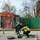
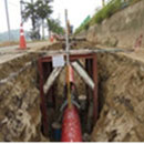
Surveying/Mapping Underground Facilities
The purpose of this kind of surveying is to map the precise locations of sewage pipes, gas pipes, underground tracks, and communication lines. Currently, surveying services are required by government agencies, municipal organizations, and government investment organizations in order to establish attributional information data to enable scientific and systematic management.