GIS DB Structure
- Business Areas
- GIS DB Structure
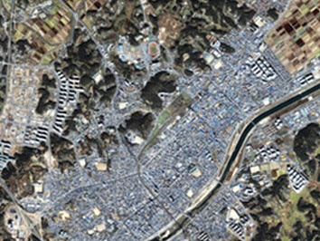
It is a comprehensive geographic information system designed to collect geographical information, including standard maps and related information, such as underground facilities, through satellite, and to search and analyze through the use of computers.
Visual Information Processing Work
- Disaster prevention DB
- Land DB
- Urban planning DB
- New address DB
- Road based facility DB
- DB Cleaning
- Multi-dimensional space analysis
- High-resolution, multi-band visual information analysis
- Multi-spectrum visual information analysis
- Sewer · waterworks DB
Digital Map
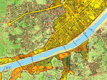
- Environment
- forest
- land
- disaster prevention
- power
- urban planning
- tourism
- road / traffic